Shipal-Shin inspirational stuff
Moderator: Lead Developers
Shipal-Shin inspirational stuff
I've been away, but you guys are always on my mind. I'm also terrible at art, even though I have very clear ideas of what I want certain parts of TR to look like. That's why, for the past year or two, I've been saving images that resemble what I'd like the Shipal-Shin to look like.
Important: this is just a collection of images. It is not an official kickoff for Shipal-Shin concepting or discussion, that will probably be later (I honestly don't know). I'm also not an authority on concept art and haven't involved myself in (master) planning as of late so don't attribute too much weight to what I'm about to post. I just want these images to be out there for when discussion does start in earnest. And who knows, maybe they'll inspire people with more art-related talent than myself.
1 - rock layers & erosion. Not sure if feasible in-engine.
2 - more erosion, one of the many small streams that join to form the Thirr
3 - flat, dry mountaintops, water drains onto verdant slopes, eventually forms Thirr river.
4 - I like tiny streams. Again, have the Thirr spring from everywhere, not just one point.
5 - small waterfall, erosion, vegetation against a backdrop of dry, layered cliffs
6 - similar to 5
7 - further downstream, the Thirr is wide and winding.
8 - imagine Narsis being hugged by a massive river bend
9 - Thirr carves out a massive valley in the Shipal-Shin plateau (imagine more green where the river is, less useless flats, level mountaintop plateaus where Thirr/streams are not)
10 - Border Shipal-Shin/Deshaan. Plateau ends to make way for the lower, windier salt plains. Saltwind-related erosion.
11 - Grand Canyon colour reference. I love red rocks. Maybe even more red.
12 - more colours. My favorite.
Bonus: Hlaalu farmers cleverly using the flat, windy mountaintop plateaus to generate electricity.
This is what I personally see when I think about the Shipal-Shin. Again, I'm no authority on the matter and I don't mind if it ends up going in a wildly different direction, I just figured I'd share.
- ViroGlacia
- Member
- Posts: 1
- Joined: Tue Oct 14, 2014 5:43 pm
I've made a rough Hlaalu windmill model. Which might work well for your bonus photo idea.
https://imagizer.imageshack.us/v2/416x5 ... mLfhLO.png
Some of your cliff ideas will mostly need to be handled through meshes. Especially the grand canyon varieties. However some of them, like number three should be managed through ordinary terrain, or so I suspect.
https://imagizer.imageshack.us/v2/416x5 ... mLfhLO.png
Some of your cliff ideas will mostly need to be handled through meshes. Especially the grand canyon varieties. However some of them, like number three should be managed through ordinary terrain, or so I suspect.
-
sasquatch2o
- Developer
- Posts: 325
- Joined: Tue Jul 15, 2014 1:56 pm
I really like what has been posted here for concepts and the windmill model! This type of brainstorming and image collection is really important to creating the best possible areas. I'm especially impressed by the dry rocky landscapes with buttes and "pillar" formations posted by Why. Part of the beauty of these is that they can be achieved with the vanilla models we already have. I don't intend to detract from what has already been posted, but I'm leaving some visual ideas I collected in another thread to add to the ideas here:
"The following links are mostly for reference and later use:
High sierra:
https://c1.staticflickr.com/3/2264/2126 ... 075347.jpg
http://runnerbeans.files.wordpress.com/2010/09/yosemite-mountains.jpg
https://farm5.staticflickr.com/4106/496 ... 5996_o.jpg
Highlands:
http://i.imgur.com/vuEsCTg.png
https://c1.staticflickr.com/5/4048/5138 ... 5f40_z.jpg
https://c2.staticflickr.com/2/1207/5134 ... 6c87_z.jpg
http://www.forkingitup.com/jamie/here/wp-content/uploads/2013/08/Pisac-Sacred-Valley-Cusco-Cuzco-Peru-Pisac-Ollantetambo-Urubamba-4.jpg
http://www.praisephotography.com/uploaded_images/categories/Leslie_Gulch_canyons,%20Leslie_Gulch,%20Eastern_Oregon.jpg
Highlands River:
http://upload.wikimedia.org/wikipedia/commons/3/35/Marsyangdi_valley_near_Pisang_%284518299825%29.jpg
http://graphics8.nytimes.com/images/2011/08/21/travel/21EXPLORER1_SPAN/21EXPLORER1-articleLarge.jpg
http://www.lesstravelednorthwest.com/oregon_southeast/upper_owyhee_canyons/data1/images/north_fork_owyhee.jpg
http://www.liskgallery.com/data/photos/890_1090225_004.jpg
Plains:
http://www.thedailytea.com/wp-content/uploads/2014/07/kenya-105815_1280.jpg
http://hitchhikershandbook.com/wp-content/uploads/2014/01/Tigris-river-and-the-plains-surrounding-Diyarbak%C4%B1r-Turkey.jpg
http://orsierraclub.files.wordpress.com/2010/08/dscf0752.jpg
https://c1.staticflickr.com/7/6191/6090 ... f56a_z.jpg
Plains Hill:
http://i.imgur.com/RlXG1Pi.jpg
Plains Valley:
https://onda.org/events/images-for-even ... 6fbfc.jpeg
Agriculture:
https://lh4.ggpht.com/B9S-Hsy7OwXlFL_kd ... l79Eg=s649
http://travellerguide.asia/wp-content/uploads/2012/11/Cameron-Highlands.jpg
http://upload.wikimedia.org/wikipedia/commons/e/e8/Cameron_Highlands.jpg
http://travel.sndimg.com/static_files/imagesource/imageoutput12/editors-picks-cash-sweeps_001_596x334.jpg
http://i.imgur.com/QeuFCRv.jpg?1
http://www.worldofstock.com/stock-photos/olive-trees-growing-on-a-hillside-farm/TEI2589
https://www.flickr.com/photos/tim_proff ... 434882759/
http://i.imgur.com/zH4bOGR.jpg
http://i.imgur.com/Tm3YcXB.jpg
http://topwalls.net/wp-content/uploads/2013/05/Cameron-Highlands-Malaysia.jpg
Transition Zones: (regional mixing)
Example 1
-part a http://i.imgur.com/LnuteDW.jpg
-part b http://i.imgur.com/zWuGAP0.jpg
-part c http://i.imgur.com/yzPkxjy.jpg
Example 2
http://i.imgur.com/ksS8ocx.jpg
Mountain and Highlands:
http://www.elmorecountypress.com/Owyhee%20News_files/image022.jpg
Plain & Highlands:
http://farm4.static.flickr.com/3091/2579777404_e93d7b7d82_m.jpg
http://jaysjourneys.com/wp-content/uploads/2012/06/7155115881_9049d79a16_z.jpg
Agriculture & Highlands:
http://alanmajchrowicz.com/wp-content/uploads/2012/05/succor_creek_gulch_oregon_47896.jpg
Ashland Assets in Transition Zones
http://www.hewlett.org/uploads/images/North%20Fork%20Owyhee%20River.jpg
http://farm8.static.flickr.com/7341/8925805332_1ea0ee1082_m.jpg
http://www.aaroncowanphotos.com/The-Owyhees/i-NdrGsQR/0/S/Juniper-Between-Canyons-S.jpg
Coatline:
http://i.imgur.com/1LGbv.jpg
http://www.travelportland.com/wp-content/uploads/2013/08/NR_OregonCoast_Overview_12855646_ZachSchepf_.jpg
Webpages:
agriculture
http://permaculturenews.org/2011/09/03/a-small-productive-fruit-farm-in-cambodia/
http://urbancampesina.com/tag/swale/"
taken from here: http://tamriel-rebuilt.org/old_forum/viewtopic.php?t=24686&highlight=
my opinion.
- st.Veloth, The Repenting
- Member
- Posts: 151
- Joined: Sat Feb 28, 2015 12:52 am
- Location: toronto
- Yeti
- Lead Developer
- Posts: 2061
- Joined: Sun Feb 15, 2009 11:50 pm
- Location: Minnesota: The Land of 11,842 Lakes
Narsis is House Hlaalu's capital and will not feature Redoran architecture under any conceivable circumstance. In the future, please find a more appropriate thread for posting ideas and feedback, as your post has little to do with the topic of this one.st.Veloth, The Repenting wrote:once again, parts of narsis should be redoran, redoran are much more suited to deserts and wastes than they are mountains.
Also, I think you've been mislead by that map, st.veloth. Narsis is not located in a desert (though the surrounding Shipal-Shin will be an arid region). For the most part, we haven't started at all on Morrowind's southern regions, hence why that map shows the placeholder landscape texture covering the entire bottom portion of the province.
-Head of NPCs: [url=http://www.shotn.com/forums/]Skyrim: Home of the Nords[/url]
- st.Veloth, The Repenting
- Member
- Posts: 151
- Joined: Sat Feb 28, 2015 12:52 am
- Location: toronto
Shipal-shin and Othreleth Woods will both have reddish soil and rocks. [url=http://fc04.deviantart.net/fs70/i/2010/147/8/a/Mushroom_forest_by_Tamriel_Rebuilt.jpg]This[/url] is a rather old concept of Othreleth Woods; it will be the larger region, and despite its name will probably have areas with less tree cover, where the Hlaalu plantations would mostly be found. It should be discussed [url=http://tamriel-rebuilt.org/old_forum/viewtopic.php?t=24627]here[/url]. Shipal-shin hasn't been discussed as much, and lacks its own thread. I still don't have a strong impression of the region myself, but I think Why's post [url=http://tamriel-rebuilt.org/old_forum/viewtopic.php?t=24697]here[/url] gives a good idea of the region, and while a concept for Gnisis, I think the cliffs [url=http://www.imperial-library.info/sites/default/files/imagecache/node-gallery-display/gallery_files/mw_TAoM_p12.jpg]here[/url] look about right as well.
Shipal Shin and Othreleth Woods, as with most of western Morrowind, used to belong to House Redoran, more specifically the Waters March, the southernmost of the three Redoran marches. In the wake of the Armistice, however, House Hlaalu more or less grabbed all of the land of the Waters March with the exception of the twin strongholds of Marak and Iuval, which will likely fall just within the Shipal-shin region, as seen here. As such, House Redoran will have a minor presence in Shipal-shin.
As far as discussing the visuals of Shipal-shin is concerned, I'd either take the discussion to Why's thread linked above or make a Shipal-shin region brainstorming thread in the Master Planning sub-forum. Otherwise, for discussing House Redoran or House Hlaalu the respective [url=http://tamriel-rebuilt.org/old_forum/viewtopic.php?t=24005]brainstorming[/url] [url=http://tamriel-rebuilt.org/old_forum/viewtopic.php?t=24220]threads[/url] would probably be the best place to post.
-
Ironed Maidens
- Developer
- Posts: 415
- Joined: Sat Feb 23, 2008 7:03 pm
I was just in Sedona recently and I think we can look at it for reference to Shipal Shin, honestly. It was an incredibly beautiful place.
https://www.google.com/search?q=sedona+ ... 99&bih=734
https://www.google.com/search?q=sedona+ ... 99&bih=734
-
Ironed Maidens
- Developer
- Posts: 415
- Joined: Sat Feb 23, 2008 7:03 pm
One interesting thing of note about Sedona is that while I was there I was dicking around and gathering dirt (because it's pretty, duh), and I noticed that there were different textures of dirt all around. Some of it was soft and fine and some of it was coarse and grainy, with different colors. Some was red, some was light brown, some dark brown, and some was black and even orange-ish. So this is something to keep in mind as well with Shipal Shin; I would imagine it to be an arid climate but also diverse in natural warm tone colors; but not too desert-esque. I'm thinking more of a 'repository' of different sands and dirt with natural Sedona-like rock formations. Look at the images link I supplied and you can easily see how amazing the mountains are; I could easily see there being a lot of exploration and hidden items being able to be placed along such ravines/table tops/mountains/rock arches/formations. And in keeping with the Redoran theme I can see a lot of Lorkhan symbolism being able to be placed in the region; vistas that glorify Masser and Secunda, natural fortifications provided by the unique mountain formations, and a sense of desolation and hardiness. I wouldn't say the area has to be Native-American inspired, but I think a splash of some kind of tribal influence would really bring out the character of this region. Almost giving it a primal beauty.
I am not certan of your distance from Sedona, but I live say 30 miles away in Camp Verde.Ironed Maidens wrote:One interesting thing of note about Sedona is that while I was there I was dicking around and gathering dirt (because it's pretty, duh), and I noticed that there were different textures of dirt all around. Some of it was soft and fine and some of it was coarse and grainy, with different colors. Some was red, some was light brown, some dark brown, and some was black and even orange-ish. So this is something to keep in mind as well with Shipal Shin; I would imagine it to be an arid climate but also diverse in natural warm tone colors; but not too desert-esque. I'm thinking more of a 'repository' of different sands and dirt with natural Sedona-like rock formations. Look at the images link I supplied and you can easily see how amazing the mountains are; I could easily see there being a lot of exploration and hidden items being able to be placed along such ravines/table tops/mountains/rock arches/formations. And in keeping with the Redoran theme I can see a lot of Lorkhan symbolism being able to be placed in the region; vistas that glorify Masser and Secunda, natural fortifications provided by the unique mountain formations, and a sense of desolation and hardiness. I wouldn't say the area has to be Native-American inspired, but I think a splash of some kind of tribal influence would really bring out the character of this region. Almost giving it a primal beauty.
The reference quoted above is very spot on. Solid sandstone of many different colors. Pale white to blood red and dark brown. There are 3 types of soils. Soft and sandy type, general dirt, and rough rocky dirt.
For the strange plants found in the extreme south by the border on TR's Alpha....Sedona and the surrounding desert region would actually match that kind of flora perfectly. It has a Southwest quality in the models. Colors are quite common throughout the region. I do not work on TR, (Sorry my own mod keeps me more than busy) But I would go with it as well.
"Edgar's twin brother, who traded the throne for his own freedom..."
-
Ironed Maidens
- Developer
- Posts: 415
- Joined: Sat Feb 23, 2008 7:03 pm
Ironed Maidens wrote:Huh, cool, another AZ-er, and none other than Bahamut himself. Weird.
The Mars rover took this picture and sent to it NASA today.
http://mars.jpl.nasa.gov/msl-raw-images/msss/00971/mcam/0971ML0042890030404125E01_DXXX.jpg
The layered look of the rocks could also be inspirational to Shipal-Shin.
I actually think so too. That picture is kind of what I was picturing in my mind for the Shipal-Shin. Shrubbery, and the mushrooms. Really cool looking.
"Edgar's twin brother, who traded the throne for his own freedom..."
- st.Veloth, The Repenting
- Member
- Posts: 151
- Joined: Sat Feb 28, 2015 12:52 am
- Location: toronto
Just a shot of some colorizing
I kind of tinkered a bit with this idea (Can't make cliff models like the image, but I used some from the game itself. I went to Sedona, and found the most common color. I then came home and tried to match it. And this is my results thus far. (Sorry, could not figure any other way to directly load the images here.)
- Attachments
-
- Morrowind 2015-05-18 20.09.22.038.png
- city street
- (1.07 MiB) Downloaded 689 times
-
- Morrowind 2015-05-19 16.16.44.900.png
- rocks and color
- (876.8 KiB) Downloaded 625 times
-
- Morrowind 2015-05-19 16.16.24.066.png
- Dirt road color
- (650.56 KiB) Downloaded 670 times
"Edgar's twin brother, who traded the throne for his own freedom..."
-
Ironed Maidens
- Developer
- Posts: 415
- Joined: Sat Feb 23, 2008 7:03 pm
-
sasquatch2o
- Developer
- Posts: 325
- Joined: Tue Jul 15, 2014 1:56 pm
I like the textures for city pretty well. I'd prefer lighter colors for shipalshin though. I think it'd look like a dryer hotter heat and transition better with plains and more Mediterranean agricultural and coastal areas.
Plain & Highlands:
http://farm4.static.flickr.com/3091/2579777404_e93d7b7d82_m.jpg
http://jaysjourneys.com/wp-content/uploads/2012/06/7155115881_9049d79a16_z.jpg
https://c1.staticflickr.com/5/4048/5138 ... 5f40_z.jpg
http://www.liskgallery.com/data/photos/890_1090225_004.jpg
http://www.forkingitup.com/jamie/here/wp-content/uploads/2013/08/Pisac-Sacred-Valley-Cusco-Cuzco-Peru-Pisac-Ollantetambo-Urubamba-4.jpg
http://hitchhikershandbook.com/wp-content/uploads/2014/01/Tigris-river-and-the-plains-surrounding-Diyarbak%C4%B1r-Turkey.jpg
Last edited by sasquatch2o on Wed May 20, 2015 11:40 am, edited 2 times in total.
my opinion.
- st.Veloth, The Repenting
- Member
- Posts: 151
- Joined: Sat Feb 28, 2015 12:52 am
- Location: toronto
To answer everyone lol 
Thank you for the kind words on it. I am also having some trouble with the buildings and it. I love the GL_Grass_02 with it, and the dirt road look great. But it has a clash. Still working on it.
Iron maidens: I completely get (I think) what you mean. The spire rocks, and buttes all over the place.
Kelp: I am wondering though....what places are you near? I am upset that I cannot go see those places as well. I love seeing new things big time. New places, colors, textures etc.
Sasquach2o: Those are the kind of rocks and cliffs I would love for this area of mine.
Here was my overall thought process on my mods region.
Sedona colorish rocks and cliffs. BUT Not the same foliage. My mind constantly wanders to what is called the 4 corners area, and Monument Valley for the feel of the place. High rock buttes, not a lot of forestry. Very dry desert look.
[img]http://www.parkerpress.com/wp/wp-content/uploads/2012/03/2012-02-26-Monument-Valley-223_HDR.jpg[/img]
Something similar to this. Small trees and shrubs. I loved the idea. When wandering through my area (central to the landmass basically...I was imagining this kind of area. And great cities nestled into the alcoves of the cliffs.
Thank you for the kind words on it. I am also having some trouble with the buildings and it. I love the GL_Grass_02 with it, and the dirt road look great. But it has a clash. Still working on it.
Iron maidens: I completely get (I think) what you mean. The spire rocks, and buttes all over the place.
Kelp: I am wondering though....what places are you near? I am upset that I cannot go see those places as well.
Sasquach2o: Those are the kind of rocks and cliffs I would love for this area of mine.
Here was my overall thought process on my mods region.
Sedona colorish rocks and cliffs. BUT Not the same foliage. My mind constantly wanders to what is called the 4 corners area, and Monument Valley for the feel of the place. High rock buttes, not a lot of forestry. Very dry desert look.
[img]http://www.parkerpress.com/wp/wp-content/uploads/2012/03/2012-02-26-Monument-Valley-223_HDR.jpg[/img]
Something similar to this. Small trees and shrubs. I loved the idea. When wandering through my area (central to the landmass basically...I was imagining this kind of area. And great cities nestled into the alcoves of the cliffs.
"Edgar's twin brother, who traded the throne for his own freedom..."
- st.Veloth, The Repenting
- Member
- Posts: 151
- Joined: Sat Feb 28, 2015 12:52 am
- Location: toronto
YES YES YES
keep the red, cities protruding from the cliffs, skyrender nests clinging to the sides... oh god i think i'm in heaven. oh wait, nope i'm just high on skooma. damn khajiit slaves! always slipping something into my canis root tea!
keep the red, cities protruding from the cliffs, skyrender nests clinging to the sides... oh god i think i'm in heaven. oh wait, nope i'm just high on skooma. damn khajiit slaves! always slipping something into my canis root tea!
almsivi bless, to create one must first destroy, the nature of all, is in equilibrium
- sotha sil
- sotha sil
Lovely indeed. I love the colours, but would prefer slightly more vegetation. Though it was designed for the Deshaan plains, I think something like 10Kaziem's "[url=http://tamriel-rebuilt.org/old_forum/viewtopic.php?t=24954]Saltstrap[/url]" would look great in such area.
As for where I live at the moment.. It's not too bad either I guess. French Alps.
I actually just moved closed to the city a few weeks ago, but i used to wake up to this: (still just 20km from my current location)
[spoiler]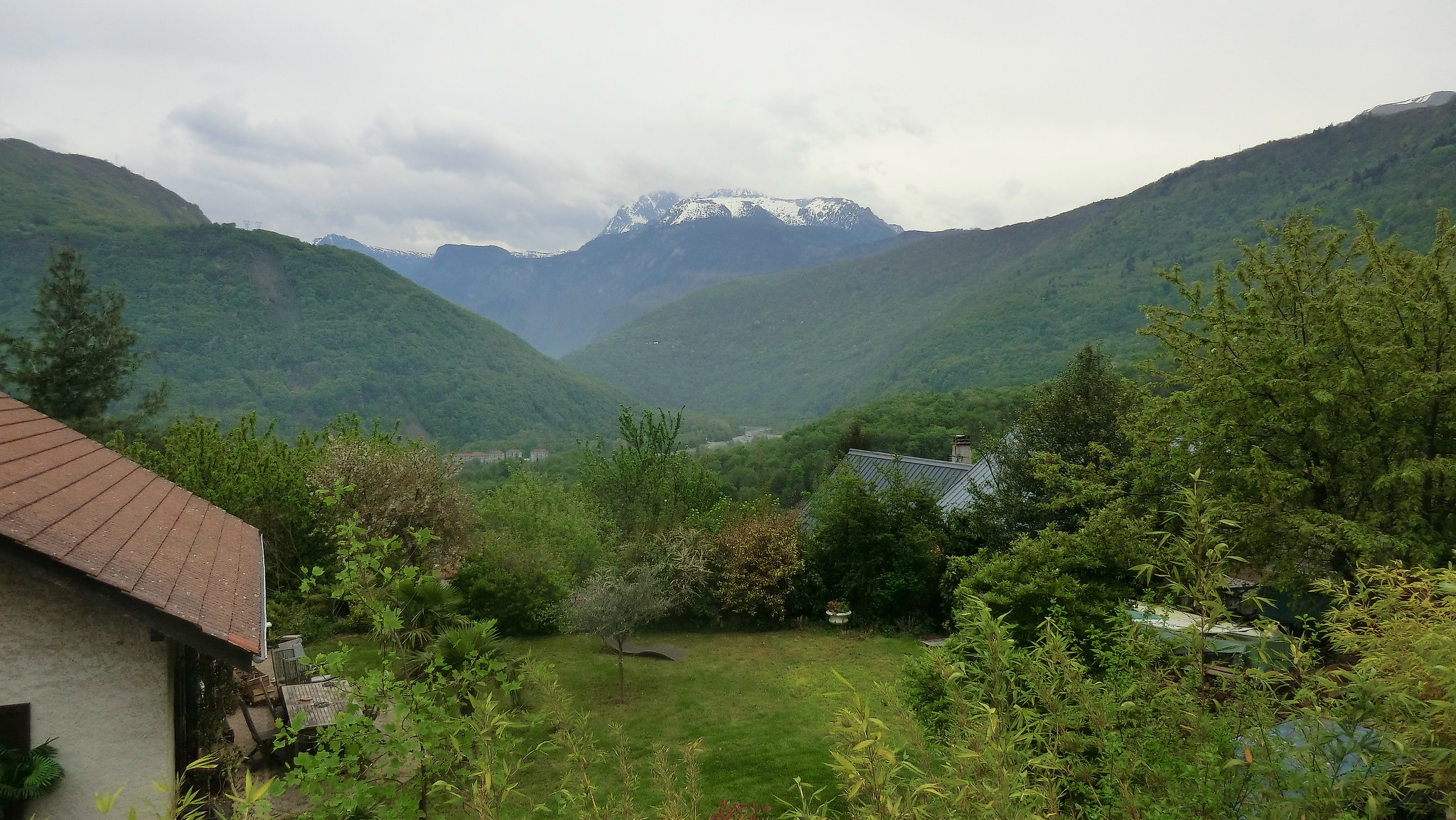 [/spoiler]
I often go biking, which makes me quite happy in this area. These photos were taken before it started springing, except the last one which was taken midsummer. Now in the spring it's beautiful with all the blooming different colours.
[spoiler]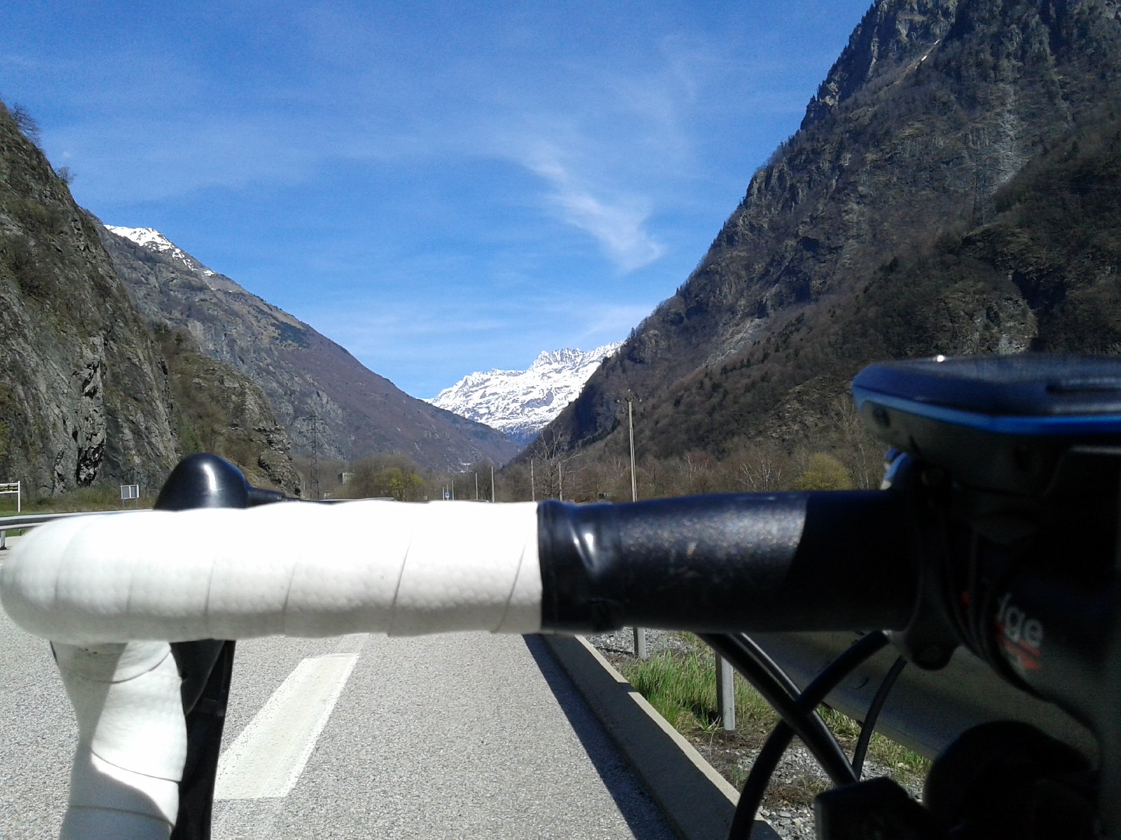
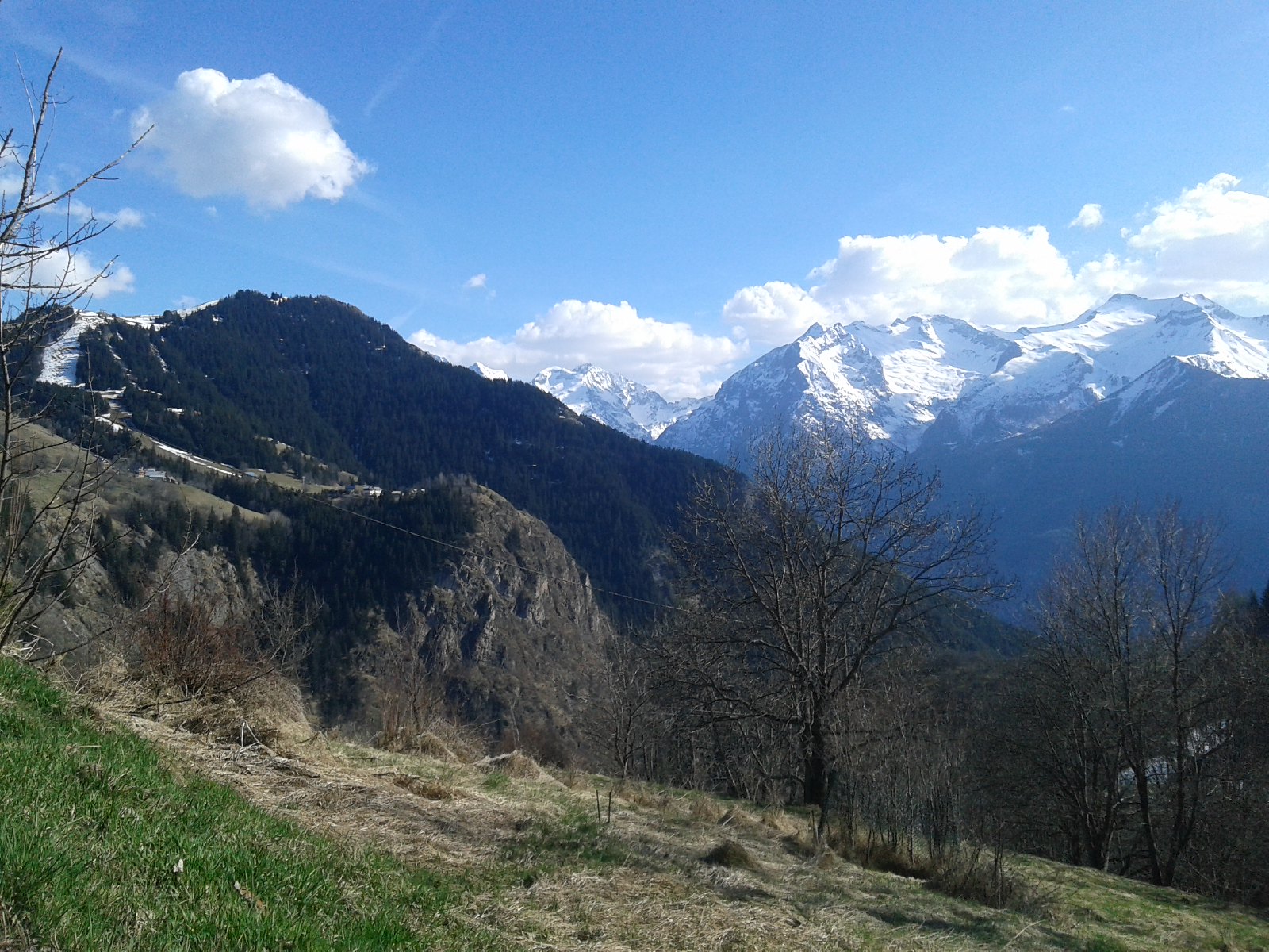
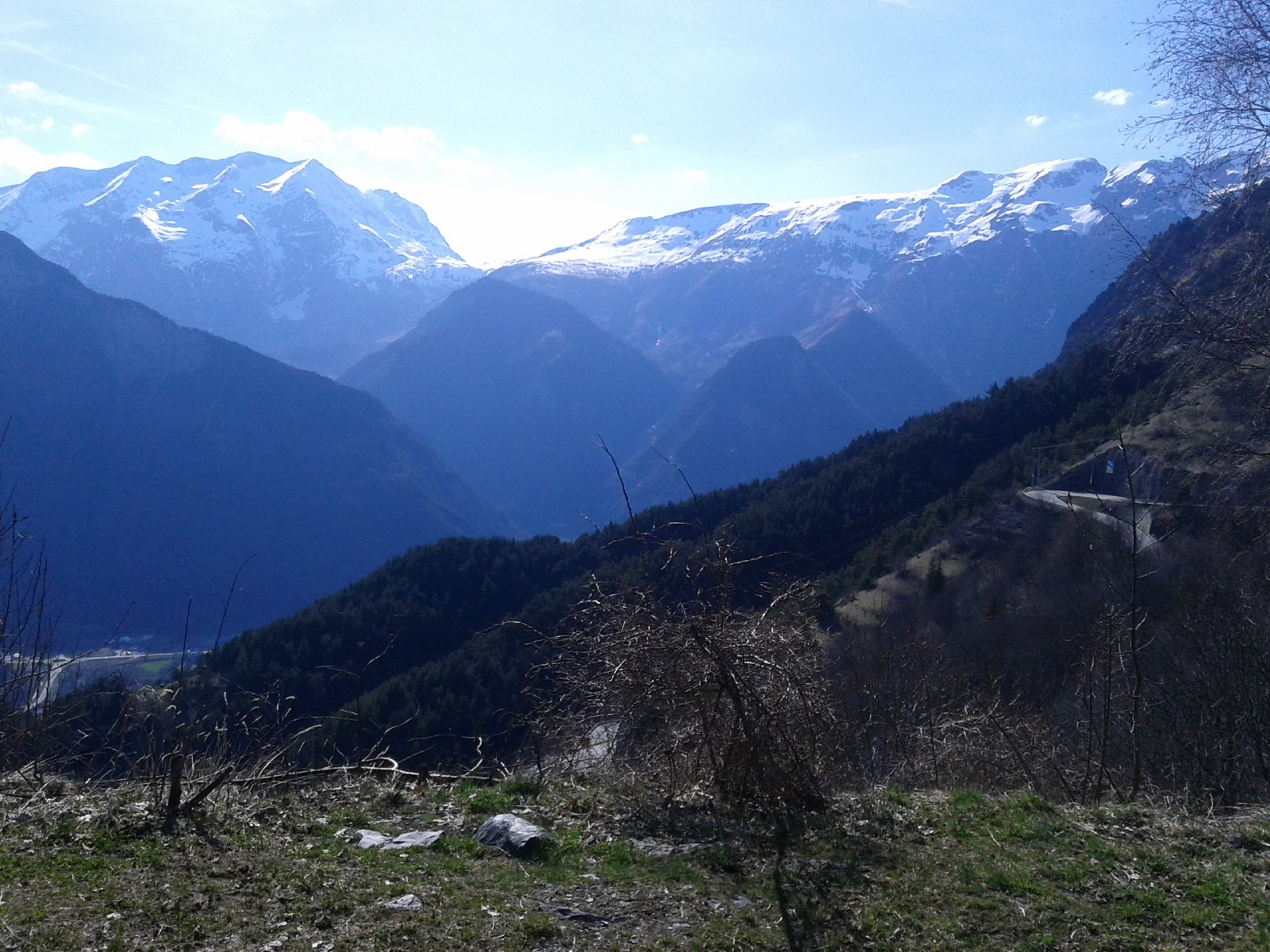
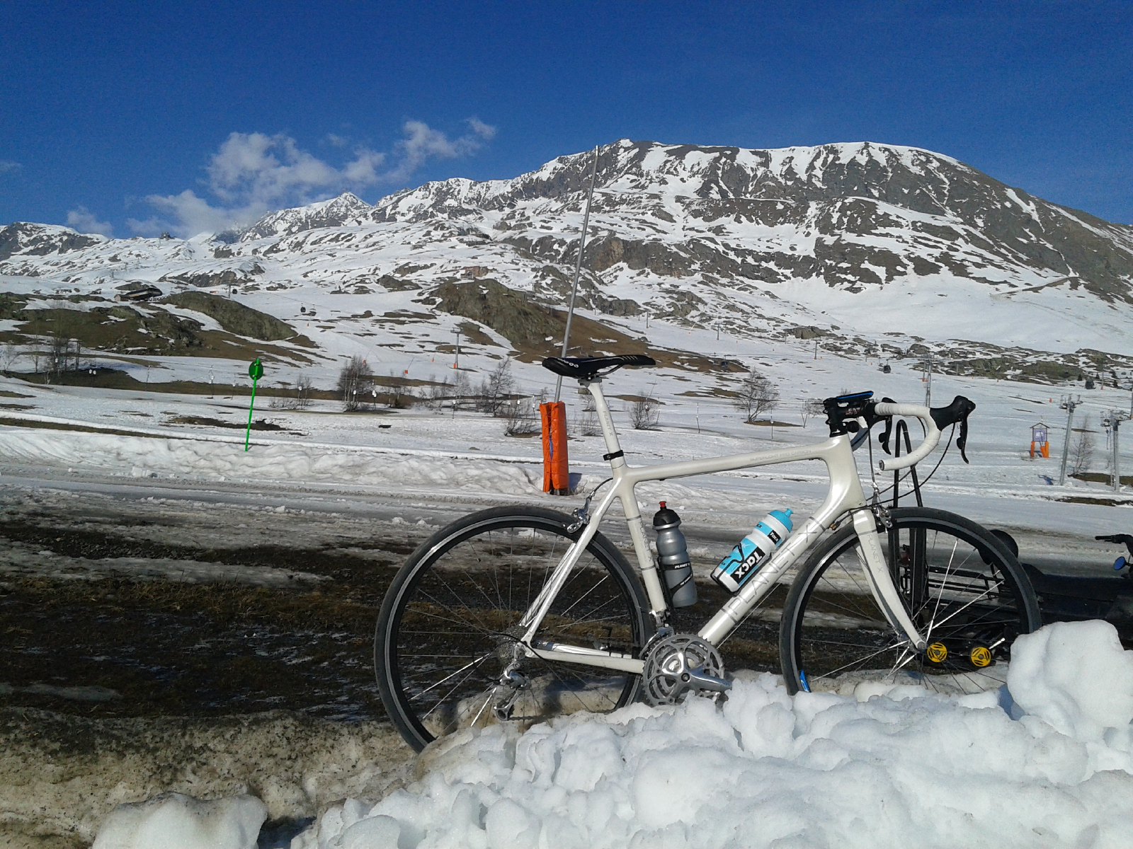
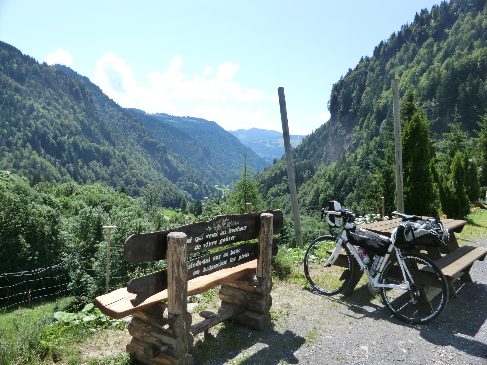 [/spoiler]
This last pic isn't in the Alps, but was taken during a cycling holiday of mine also in France. Not far from the Spanish border, nearing the Pyrenees. It may inspirational for other Hlaalu lands.
[spoiler]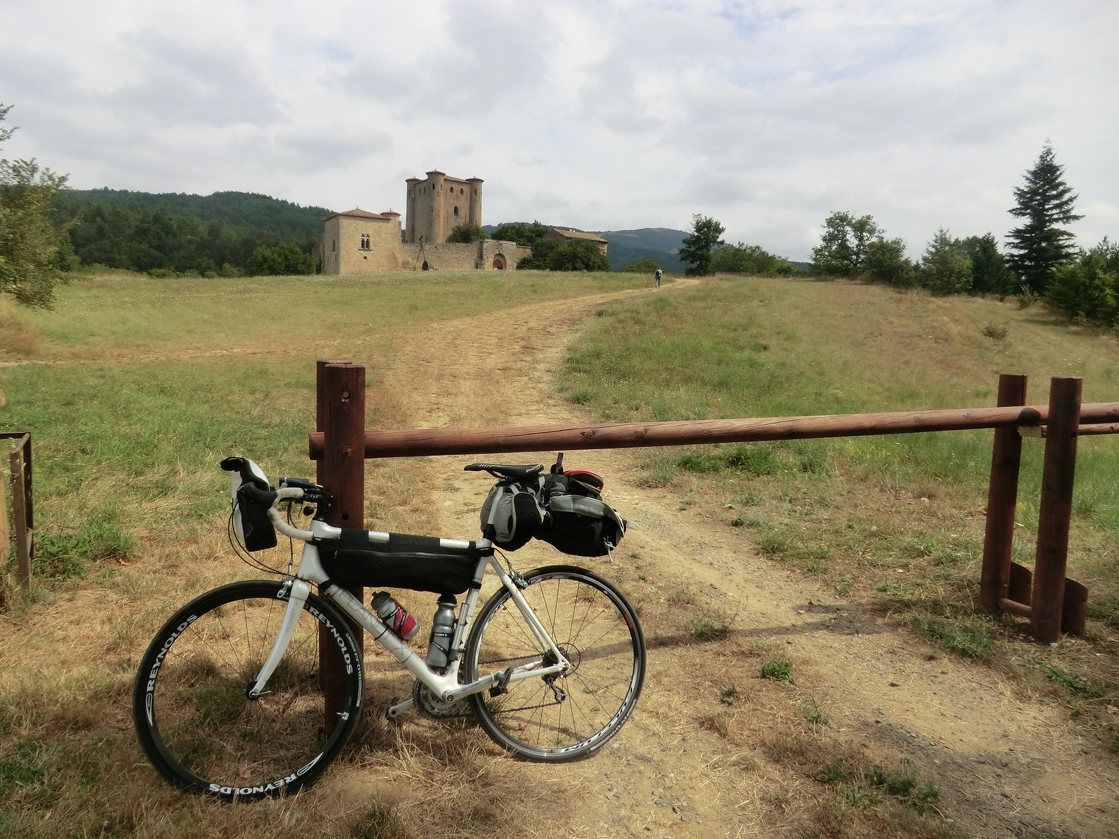 [/spoiler]
As for where I live at the moment.. It's not too bad either I guess. French Alps.
I actually just moved closed to the city a few weeks ago, but i used to wake up to this: (still just 20km from my current location)
[spoiler]
 [/spoiler]
I often go biking, which makes me quite happy in this area. These photos were taken before it started springing, except the last one which was taken midsummer. Now in the spring it's beautiful with all the blooming different colours.
[spoiler]


 [/spoiler]
This last pic isn't in the Alps, but was taken during a cycling holiday of mine also in France. Not far from the Spanish border, nearing the Pyrenees. It may inspirational for other Hlaalu lands.
[spoiler]
 [/spoiler]
Not too bad either...? The French Alps are some of the most stunning mountains I have come across in my readings! Mountains and beauty there trump the "ahem" mountains we claim in Az. San Francisco Peaks are our highest at 12.000+ ft. Stunning pictures of everything but that white stuff. Hate snow. It is why I live in Arizonaklep wrote:As for where I live at the moment.. It's not too bad either I guess. French Alps.
"Edgar's twin brother, who traded the throne for his own freedom..."
I worked a bit more, and got the rocks I wanted for the area. I made a grass_dirt, as well as a dirt texture to match.
Here is what I do have for the area now. I am still considering lightening the color of the rocks. But I enjoy the rest of it a lot.
Here is what I do have for the area now. I am still considering lightening the color of the rocks. But I enjoy the rest of it a lot.
- Attachments
-
- Morrowind 2015-05-21 10.03.49.167.png
- Finally how it looks against the Indoril city of Laquaimar
- (981.53 KiB) Downloaded 618 times
-
- Morrowind 2015-05-21 10.02.10.172.png
- Shoreline of Rothris River
- (958.79 KiB) Downloaded 556 times
-
- Morrowind 2015-05-21 10.01.57.192.png
- Grass_Dirt created for the region.
- (1.19 MiB) Downloaded 589 times
-
- Morrowind 2015-05-21 10.01.47.035.png
- Buttes found within the "Inner Plains"
- (944 KiB) Downloaded 621 times
-
- Morrowind 2015-05-21 10.01.24.415.png
- Rothris River falls, at the northern side of Rothris
- (1.16 MiB) Downloaded 590 times
-
- Morrowind 2015-05-21 10.07.09.766.png
- At sunset across the plain.
- (607.04 KiB) Downloaded 605 times
"Edgar's twin brother, who traded the throne for his own freedom..."
-
ihavefivehat
- Member
- Posts: 35
- Joined: Mon Oct 20, 2014 1:39 am
EDIT: Why had the idea of this being the other way; Shipal-shin is up on the plateau, Deshaan is the lowland. Discussion encouraged!
So, I looked at the map earlier today with political boundaries. I notice Shipal-Shin is adjacent to the Deshaan plains.
If I understand correctly, the current idea for the Deshaan plains is that it is basically long and flat, salty soil, and people have mentioned holes, tunnels, and crevasses in it.
So far, we're imagining the Shipal-Shin region as primarily like Arizona, the grand canyon, etc. Notably, this implies the entire area has been carved away by water, which fits the current map having a river in the middle.
So what if the border between the plains and Shipal-Shin is one of the cliffs? The Deshaan plains would then be up on the plateau, and the Shipal-Shin region is the part of the plateau that has been worn away over the ages, exposing all the different soil types and allowing cool rock formations.
(Incidentally: if the plains used to be watery, then dried up, that would explain the salt. Then, if geologic action pushes them up and water erodes them down, that explains the crevasses and then the transition to Shipal-Shin.)
I attached a really rough sketch of the idea. (I will also post this in the Deshaan plains focus thread.)
- Attachments
-
- ShiDeshBorder.jpg
- Super rough sketch of a possible boundary between Deshaan and Shipal-Shin
- (549.99 KiB) Downloaded 603 times
Last edited by 10Kaziem on Sat May 23, 2015 1:19 pm, edited 1 time in total.
- st.Veloth, The Repenting
- Member
- Posts: 151
- Joined: Sat Feb 28, 2015 12:52 am
- Location: toronto
-
Ironed Maidens
- Developer
- Posts: 415
- Joined: Sat Feb 23, 2008 7:03 pm
Stahp![/quote]Ironed Maidens wrote:another trip up to Sedona next week
I am less than 50 miles from there
After toying around a bit more with this and that. I have made my final choice for my region.
Rather than the WG texture, I went with the Coastal Rock. I did lighten it more, as I did the road and dirt. And Kelp, I believe, was right. The lighter looks better. With the Coastal Rock, I still have streaks of my darker color. But this is my regions final result. I cannot wait to see TR's, as nothing that is done is anything short of stunning.
- Attachments
-
- Morrowind 2015-05-22 06.12.41.920.png
- A far better match to Rothris (Hlaalu models)
- (1.09 MiB) Downloaded 587 times
-
- Morrowind 2015-05-22 06.11.27.817.png
- One of the daedric shrines attached to an overarching daedric quest.
- (933.87 KiB) Downloaded 585 times
"Edgar's twin brother, who traded the throne for his own freedom..."
Bahamut: I just had a thought about the Hlaalu architecture in your screenshots. They look really out of place, not because of the style, but because of the color. In Vvardenfell, Hlaalu architecture shows up in green areas and the sort of green cast to the buildings reflects the landscape.
What if the buildings were retextured by just tweaking their colors slightly to reflect their new dry, arid, reddish surroundings?
What if the buildings were retextured by just tweaking their colors slightly to reflect their new dry, arid, reddish surroundings?
- st.Veloth, The Repenting
- Member
- Posts: 151
- Joined: Sat Feb 28, 2015 12:52 am
- Location: toronto
st.Veloth, The Repenting wrote:i like where you're going with this!
keep it dry, vegetation like pale white towering mushrooms...
hopefully we could have a mars red desert for redoran territory...
I was thinking the same thing. Dry area, small amount of rain. Mushrooms, and shrubs were the idea....but there is a type of Juniper tree around the Sedona area, that flourishes in this climate. I am looking around for something like that. (The ones Vurt released you get stuck in) I almost thought of the flowering mushrooms found in the southern grids of the Alpha release. I hesitate only because the color might be wrong for it. (Thus why Sedona's McDonald's is the only one in the world to NOT have yellow arches.)
I think that would be an awesome idea....save for having to do new models, and re-texture them for it. I would not want to change the other Hlaalu buildings found in Western Isles or Vvardenfell. I have actually been weighing the option of altering the Hlaalu buildings in this town to match a bit more, or to switch it with a town that is Indoril. Indoril looks great with the colors. (It's the turquoise10Kaziem wrote:What if the buildings were re-textured by just tweaking their colors slightly to reflect their new dry, arid, reddish surroundings?
Add one more thing...the rock formation in the screenshot of sunset. That was done with the BM rocks 40 - 49 & 66 - 73. I thought of a "Grey Sedona" the first time I saw these rocks in Bloodmoon. And it works! I will through a couple of screens of my Indoril city Laiquamar, and just some region work in a bit.
"Edgar's twin brother, who traded the throne for his own freedom..."
Here are a couple of screens for the Indoril/imperial representations, as well as one of the general terrain look.
- Attachments
-
- Morrowind 2015-05-23 08.47.31.898.png
- Landscape of the path out of the Inner Plains, into the Emeraude Coast.
- (929.28 KiB) Downloaded 573 times
-
- Morrowind 2015-05-23 08.50.42.789.png
- Unnamed Imperial style city.
- (1 MiB) Downloaded 602 times
-
- Morrowind 2015-05-23 08.45.13.764.png
- Laiquamar's West side
- (1.11 MiB) Downloaded 580 times
-
- Morrowind 2015-05-23 08.44.07.148.png
- Laiquamar on the East side.
- (1.13 MiB) Downloaded 594 times
"Edgar's twin brother, who traded the throne for his own freedom..."
Bahamut: The Mournhold buildings have the same problem. It's not their color scheme. I mean, the environment is very reddish, which in real life results in reddish light playing off the buildings and making them look red, too. Morrowind's engine doesn't do that, but mimics it with clever textures.
Without fixed textures, Mournhold buildings look just as pasted on as Hlaalu buildings.
Speaking of which, I made some really quick replacement textures and NIFSkoped two models to use them, they are attached in a RAR.
Feel free to play with them.
Without fixed textures, Mournhold buildings look just as pasted on as Hlaalu buildings.
Speaking of which, I made some really quick replacement textures and NIFSkoped two models to use them, they are attached in a RAR.
Feel free to play with them.
- Attachments
-
- QuickNSTexs.rar
- Two Hlaalu building exteriors with quickly redone textures. Includes 2 Meshes + enough textures to redo most of Hlaalu exteriors.
- (195.82 KiB) Downloaded 612 times
So essentially add a touch of pink/red to it? Kind of what I am getting from it.
Also the images are being taken with MGE....I have noticed a lot of "pasty" look, until you are right up on it. Especially in the "opposites" department.
My city of Levende and Valaina (Necrom models) looks really wrong against the volcano peak Mt. Doemberg. Thank God you do not normally see 5 - 10 grids away, or I would wipe those towns out. Right along with the white trees/rocks in the Nerevar Coast region it sits in
Dually noted....my first regions are kind of clumsy when seen together. Emeraude Coast, which borders the majority of this regions East side, hosts WG rocks, scrub, and AI grass. Several different trees, as well as the mushrooms of Ascadia Isles. Stark contrast to Inner Plains.
Luckily I caught this quick enough to blend in things to different regions. IE Dennenbos Mountains hold the same rocks as Lethe Valley, which holds some of the same trees as Kemina Mountains, which holds the same rocks as Mephala Mountains.
[EDIT]
After taking a peak at the textures, I think I might just bring these buildings used here into that texture. It will make it look just a bit better I think.
As for the Indoril, might just need to be the grey walls. My eyes see nothing wrong with the contrast of the roof and rock...mostly because everything in Sedona/Oak Creek is the same color, against a much darker rock
"Edgar's twin brother, who traded the throne for his own freedom..."
If you want a more technical explanation of colors, you can click here: http://www.kaziemdesigns.com/blog/paint-your-colors
But in summary: part of what makes things look "real" is the muddy mix of colors that happens because objects have, not just their own colors, but also the reflected colors of everything around them.
In many old games, particularly Morrowind, if you actually look at the textures, you will notice that they are muddy and mixed. Hlaalu buildings have many of the same tints and shades and colors as the natural landscape around them in the West Gash or Bitter Coast region. This helps the buildings sit naturally and appear as though they are actually there, with the environment, rather than being pasted on like a magazine clipping.
In Arizona or any other place, we can paint our buildings any color we want, but they still reflect colors from their surroundings, which lends them a little of the look of their environment. I can paint a building bright blue, but it will still have a red cast from the dirt.
In real life this happens automatically, but in Morrowind, objects are exactly the same color no matter where you plop them down. On Vvardenfell, the textures made all share similar sorts of colors, so most of the time, we don't run into this issue.
With the very bright red rocks you have, though, the original assets stand out very awkwardly. Part of fixing this is shading the original assets, as I did, to fit in with the landscape. Another thing is to edit the landscape texture to have some subtle color variation.
As an example, check out this [url=http://kaziem.deviantart.com/art/Luminous-Russula-524965653]Luminous Russula I drew[/url]. What color is it? Green. But it's not just green, and the other colors enhance, not diminish, the green-ness.
By the way, I really like what you're doing, I just wanted to express more specifically what I meant by the colors.


