There once was a Map thread on the old forums, with some neat maps by lots of cool and capable people.
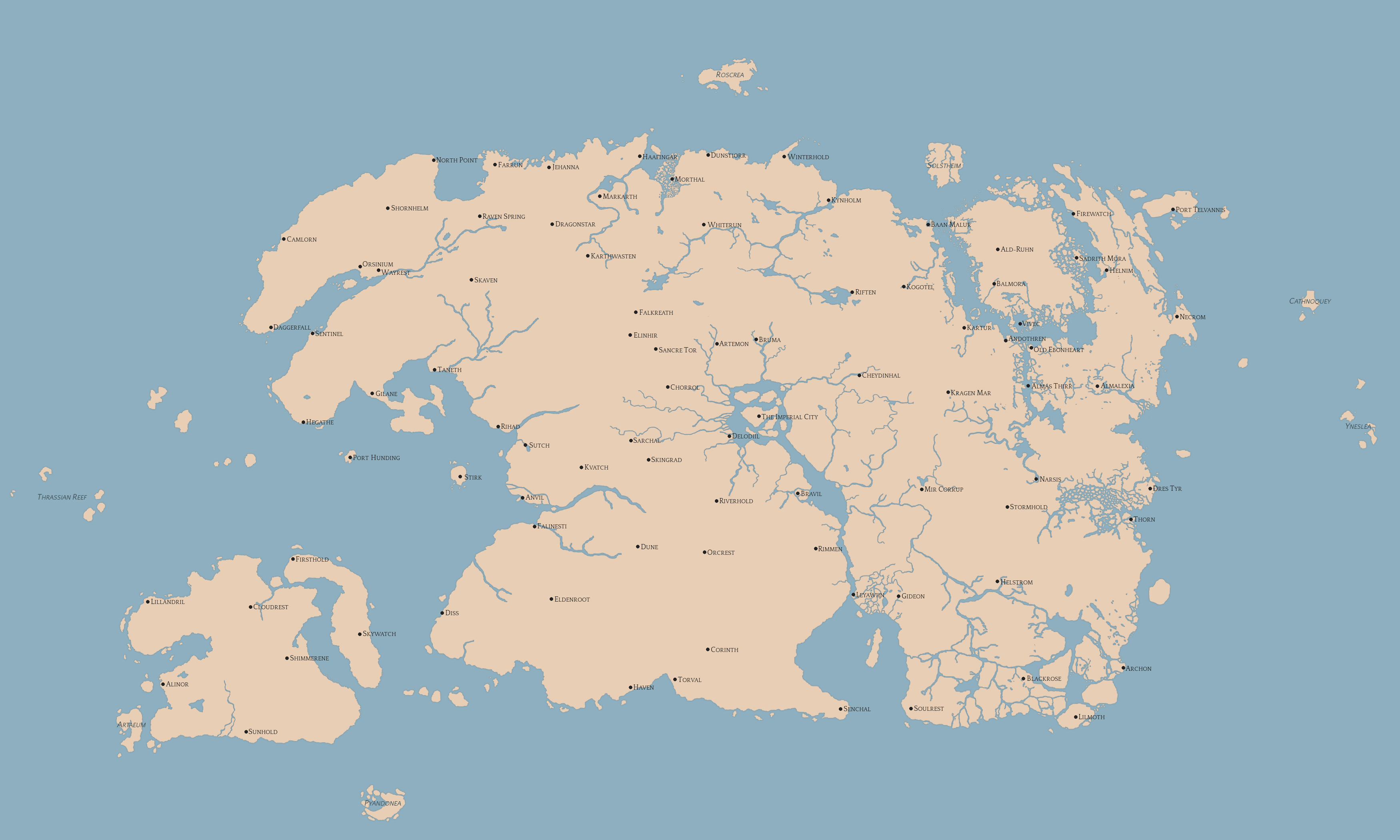
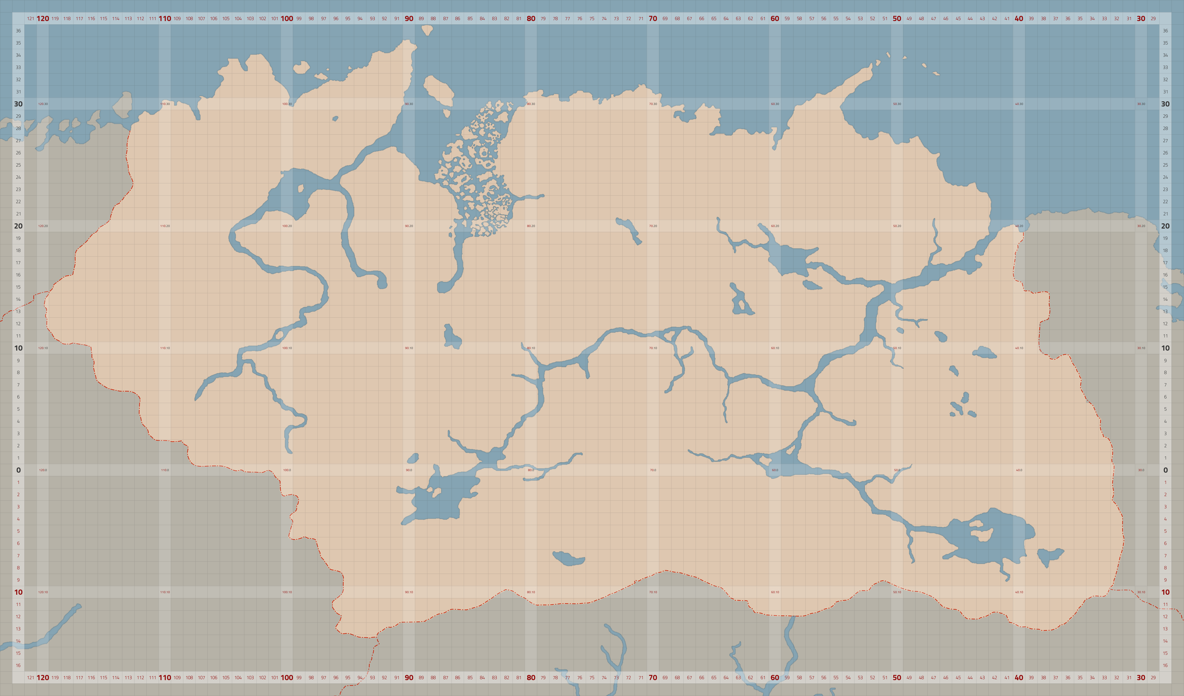
Unfortunately, it appears that I’m the last man standing. So I’m going to use this thread to dump all the junk I make as the Gridmap slowly crawls towards completion. The most full version (not always up to date) in a full sized PNG is here.
The Gridmap is available as an XCF file for editing, using and distributing, although I’m holding off an “official” release until it’s complete-ish or at least has most of the city placements for TR done. If you want it in its unfinished state, tell me. If you want to use any of these maps as basis for an edit, go ahead, upload and distribute at your leisure.
I hope it inspires someone to do some mapping for TR or PC.
Not quite the Gridmap, but it uses the same basis for off-continent island placement that the Gridmap does (the base map was done by Lady_N). The Imgur album includes links to the sources.


2016-01-23 11:05
6 years 6 months ago
Amazing maps.
Funny how bethesda change geography in tes4 only for make cyrodyiil smaller… and broke everything.
2015-09-28 20:13
2 years 8 months ago
It didn’t technically break everything (although the changing size of Vvardenfell is really, really odd) – I think it’s more a projection change, like going from Mercator to Robinson.
Also I think I have the general shape of Tamriel down now (cribbing like mad from my betters):

2016-01-23 11:05
6 years 6 months ago
Here my old maps, maybe they will be useful for you.
2015-09-28 20:13
2 years 8 months ago
They are a lot bigger than mine, but I’ll gladly incorporate (copy and paste) some of their things soon as I get to detailing the West. Thanks a lot!
In the meantime, I think I have found the near-perfect colour scheme. The water could be a bit darker still, but that would be too depressing overall.
.png)

2015-08-10 20:50
1 month 5 days ago
This thread could use a bit of necromancy. Might as well post my progress on a travel services map showing the actual travel routes:

2016-08-26 05:46
2 years 7 months ago
Is Pyandonea really that small? I thought it's roughly the size of Summurset Isle?
2015-09-28 20:13
2 years 8 months ago
It is actually bigger than the source map, which was posted by Lady_N back in the day.
From what I gather, their naval supremacy is not due to size but due to their magic and sea serpents. The "known" size is due to it being a bigger smudge on the in-game globe of Daggerfall.
2016-08-26 05:46
2 years 7 months ago
Apparently this image showing bigger Pyandonea (and some weird things like strange Tamriel, very big Akavir, continent in the south aka Aldmeris) was part of original TES: Legends advertising campaign. It was very quickly replaced with the image showing just plain yellowish globe though.
2015-09-28 20:13
2 years 8 months ago
Looks pretty weird. Black Marsh's inlet is too big and the Altmeri Isles are really cut up.
Must be problems the original artists had, it was probably really small to paint in. Still, interesting.